
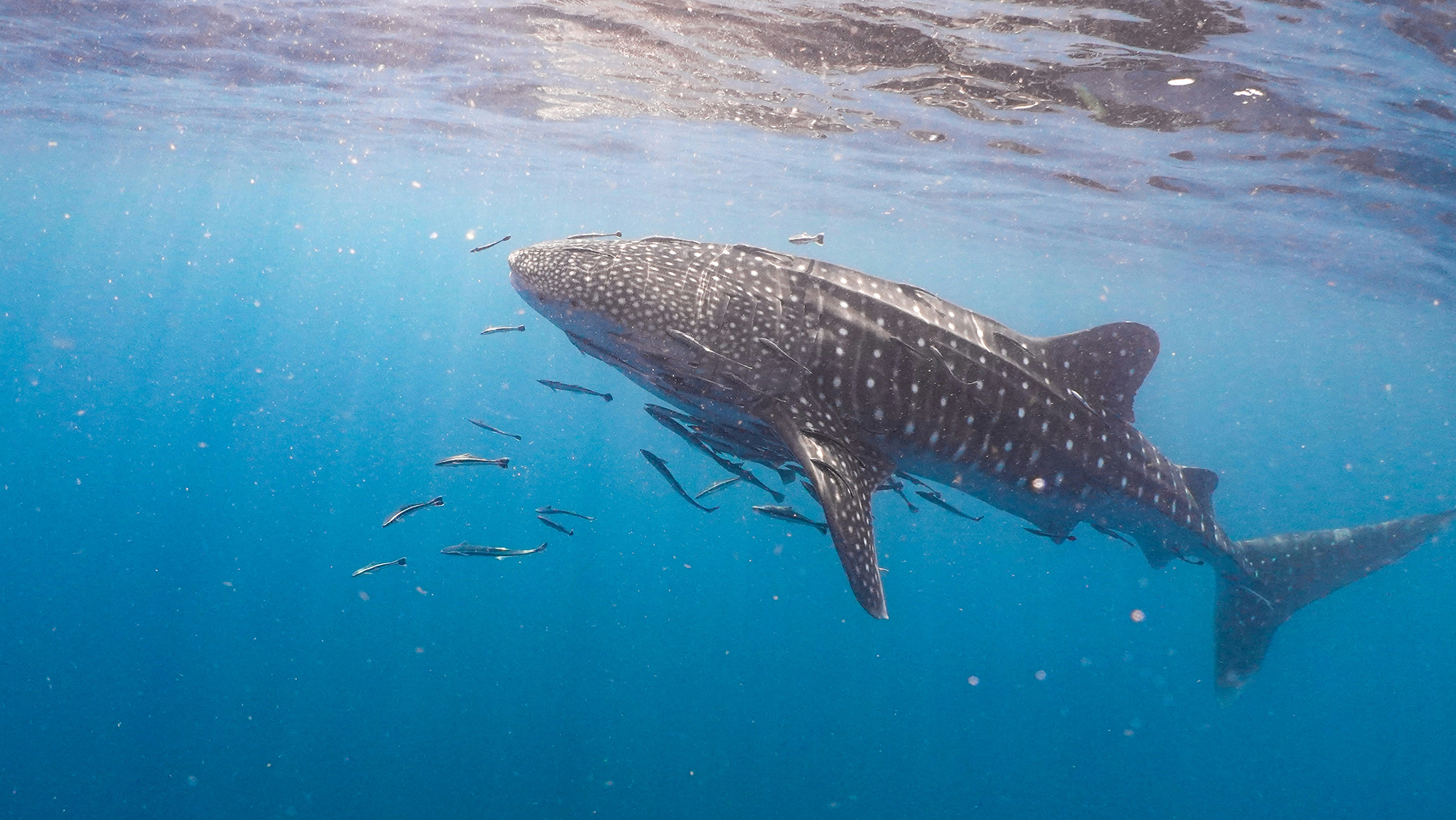
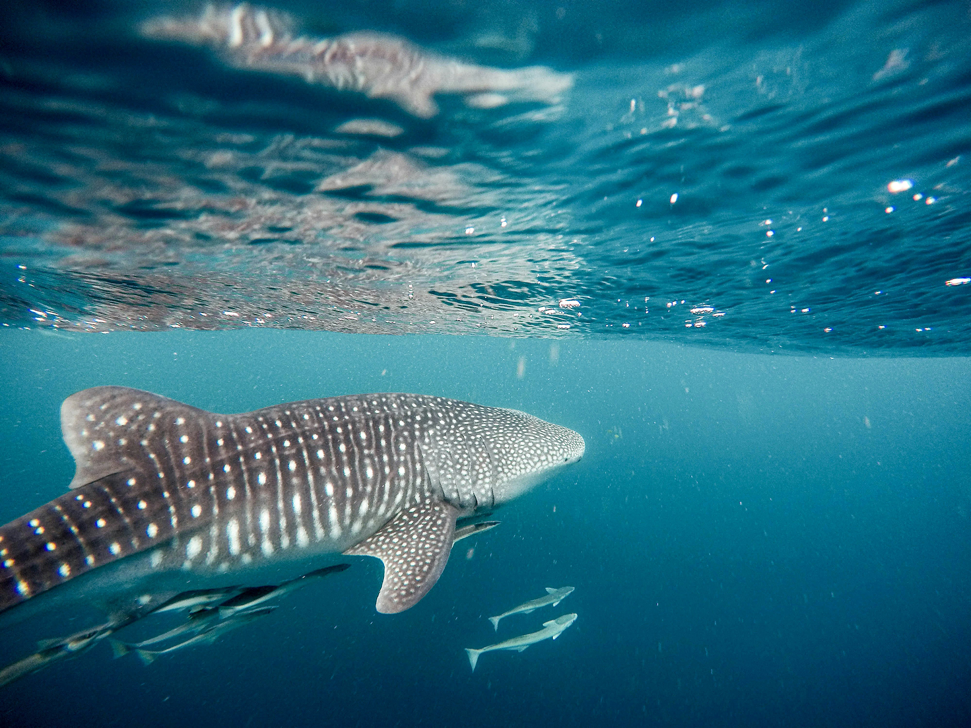
Whale sharks (Rhincodon typus), the largest fish on Earth, have long been a mystery outside of a few well-studied coastal hotspots. But now, thanks in part to AI-powered citizen science from the Sharkbook platform, developed by the Wild Me team at Conservation X Labs, a new peer-reviewed study is helping scientists rewrite what we know about where these gentle giants live—and what that means for their protection.
The study, published in Marine Ecology Progress Series by a team of scientists led by Hunter M. Milles, assembled 2,453 whale shark sightings across 30 years (1993–2023) to develop a detailed seasonal habitat model for the species in the northwest Atlantic Ocean (NWA), Gulf of Mexico, and Caribbean Sea. By combining aerial and shipboard surveys, environmental impact assessments, and opportunistic citizen science data—including hundreds of photo-identified shark sightings from Sharkbook—the research team created one of the most comprehensive habitat maps for whale sharks to date.
Whale sharks are classified as Endangered by the IUCN Red List, yet much of their open-ocean habitat has remained poorly understood. Most previous research has focused on predictable seasonal aggregation sites, like those off the Yucatán Peninsula, Belize, and Honduras. Notably, these sites are often dominated by juvenile males.
This new model by Milles et al. (2025) reveals that whale sharks are far more widely distributed across the NWA than previously documented. High habitat suitability was predicted not only in known aggregation zones but also:
These findings challenge the long-standing assumption that whale shark activity in the Atlantic is limited to tropical or subtropical nearshore sites.
Numerous scientists and associated organizations contributed to this study, highlighting the importance of collaboration and regional partnerships in conservation research.
A critical component of the study was the inclusion of data from Sharkbook—Wildbook for Whale Sharks—a project of Wild Me. Sharkbook uses computer vision and pattern-matching algorithms to identify individual whale sharks from photographs submitted by divers, scientists, and citizen scientists around the world.
The authors note that this data filled in key gaps, especially in under-surveyed regions like the U.S. East Coast. While manually geolocated sightings from Sharkbook were excluded from the machine-learning training model due to lack of standardized effort data, they were used to validate and expand the known distribution of whale sharks in the region (Milles et al. 2025, Section 2.2). This highlights the real-world value of open, decentralized platforms that use AI to make citizen contributions scientifically robust and actionable.
By identifying areas of seasonal habitat use, the model helps inform:
Whale sharks are vulnerable to unintentional harm from industrial activity. With a clearer picture of their movements:
The model provides a baseline for monitoring changes over time. As sea temperatures rise and oceanographic conditions shift, whale sharks may adapt their migration or residency patterns. This study establishes the first quantitative model of their broader Atlantic distribution (Milles et al. 2025, Section 5).
Whale sharks don’t respect national boundaries. Their distribution across the Caribbean, Gulf, and U.S. waters makes international coordination essential, something that more precise data can directly support.
By leveraging platforms like Sharkbook, the study demonstrates that:
As the authors write:
“These results underscore previously unknown pelagic regions conducive to high seasonal whale shark habitat suitability... and reaffirm year-round highly suitable conditions at known aggregation sites.” (Milles et al. 2025, Section 4.2)
Data, technology, and community-powered science can work together to uncover new truths about even the ocean’s most elusive giants. At Conservation X Labs, we’re proud to support and promote tools like Sharkbook that turn conservation into a global collaboration—one photo, one dataset, one algorithm at a time.

